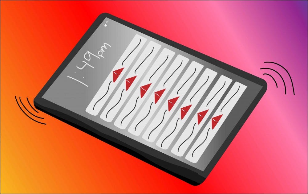
The blaring beeps of a weather warning and flood of notifications during rare desert downpours are in every Arizonan's worst nightmare.
But at ASU, researchers are making sure that these annoying notifications are saving lives in times of danger.
With the help of a $1.5 million grant from the National Science Foundation, the Integrated Flood Stage Observation Network, will be built at ASU to develop the efficacy of varied technologies and citizen science to provide more real-time information about urban flooding.
According to Mikhail Chester, principal investigator for the project and associate professor in the School of Sustainable Engineering and the Built Environment, the NSF grant was given to ASU as part of a push to support Smart Connected Communities.
The project has partnerships with the National Water Center, U.S. Geological Survey and a number of municipalities in Arizona looking to utilize the information discovered.
Chester explained that there has been a shift of information. What information was once held by a few agencies or companies is now held by essentially everyone in the computers in their pocket.
“We, now as individuals, have the collective capability to understand what’s going on in the world around us in a way that we never could before,” Chester said. “Now how do we put tech in the hands of communities to enable them to be smarter about flooding?”
The project is in collaboration with specialized departments at ASU, Michigan Tech, University at Buffalo, NAU and UA and will analyze and employ the functions of traffic cams, social media, citizen science tactics and weather apps that already collect information about weather patterns.
“We’re going to look at if information from those technologies can be pushed to a centralized database, which then could then be accessed by anybody to have more real-time information about what is going on,” Chester said.
Chris Lowry, an associate professor in the geology department at University at Buffalo, will be incorporating CrowdHydrology as one of the techniques used to collect water level data across large areas from citizen scientists.
“We have giant rulers in streams, lakes and ponds with a sign on top asking people to send in the water level at that time,” Lowry said.
According to Ben Ruddell, an associate professor of informatics at NAU, citizen science and crowdsourcing in projects like IFSON is vital to engagement and education of communities in science.
“People will be more connected to flood information in their own community,” Ruddell said. “That really increases the relevance of science for people – it increases their interest, ability and willingness to get involved and do something about making the world a better place and protecting their families.”
Lowry explains that as a professional scientist, he has a limited area over which he can make observations
“If we can engage with citizen scientists, we have a vastly larger network of people contributing to the science happening,” Lowry said.
Similarly modeled citizen science projects include CoCoRaHS, the Cornell Lab of Ornithology and the USA National Phenology Network, which is hosted out of the UA.
According to Ruddell, if the IFSON is created successfully, it will serve as a tool for education, engagement and awareness for flooding and flood infrastructure.
“Who is better to give us data than ordinary people going about their daily lives?” Ruddell said. “All of us are citizen scientists that have cellphones …The change that needs to happen is that we need to provide data about things we're passionate about to scientists.”
Chester said that the possibilities of the project are boundless in avoiding damage, hazards and effectively deploying emergency services.
“I have a dream that these technologies can actually be saving lives,” Chester said. “That’s extreme, but that is absolutely the case.”
According to Lowry, it is hard to understand how flooding occurs in one area versus another because there is not enough data observations collected over large areas.
“The hope is by collecting a diversity of observations, we can understand the processes of flooding,” Lowry said. “If we have a better understanding of how floods move through urban environments, we can forewarn people for public safety.”
Arizona will be used as a template in the hopes that the techniques can be applied all over the country, and Lowry explained that these principles can be applied to drought, hurricanes and other environmental occurrences.
“In a changing climate, we need to understand the impact on the infrastructure we have," Lowry said. "We’re hoping we can use this project to make improvements to help people.”
Reach the reporter at mshrikan@asu.edu and follow @MayaShrikant on Twitter.
Like The State Press on Facebook and follow @statepress on Twitter.


